
Union City ZIP Coverage
Official research verifies 30291 as the postal core whose USPS preferred city is Union City. That fact identifies a mailing area, not the corporate boundary. A 30291 polygon can include land outside the city, so each address needs parcel-level confirmation. The nearby 30349 postal area serves College Park and South Fulton near Union City’s north and east. No reviewed city or county source proved that a current Union City parcel lies in 30349, so the ZIP code directory treats it as a verification case rather than a second confirmed city ZIP.
| ZIP Code | Areas Covered | Post Office | Notes |
|---|---|---|---|
| 30291 | Union City and the surrounding south Fulton postal-service area | Union City Post Office, 5050 Union Street | Preferred postal city is Union City; verify city limits parcel by parcel |
| 30349 | Nearby College Park and South Fulton postal area | Facilities serving 30349 | Do not call it a Union City ZIP without parcel proof |
No official source reviewed for this build established a Union City PO-box-only ZIP, unique institutional ZIP, or dated ZIP split. Those categories should not be added merely to make a longer list. For one deliverable address, USPS is the source for postal standardization. Fulton GIS is the source for comparing that result with parcels, tax districts, and municipal geography.
Verify Union City ZIP 30291
Start with the address as it is actually used. A misspelled street, omitted direction, wrong suffix, or missing unit can return the wrong postal result. Fulton stores a display address plus separate street-number, pre-direction, street-name, suffix, post-direction, unit-type, and unit fields. That explains why an exact-string search may fail even when the parcel exists.
Open the official USPS ZIP Code Lookup before reviewing the captured postal form.
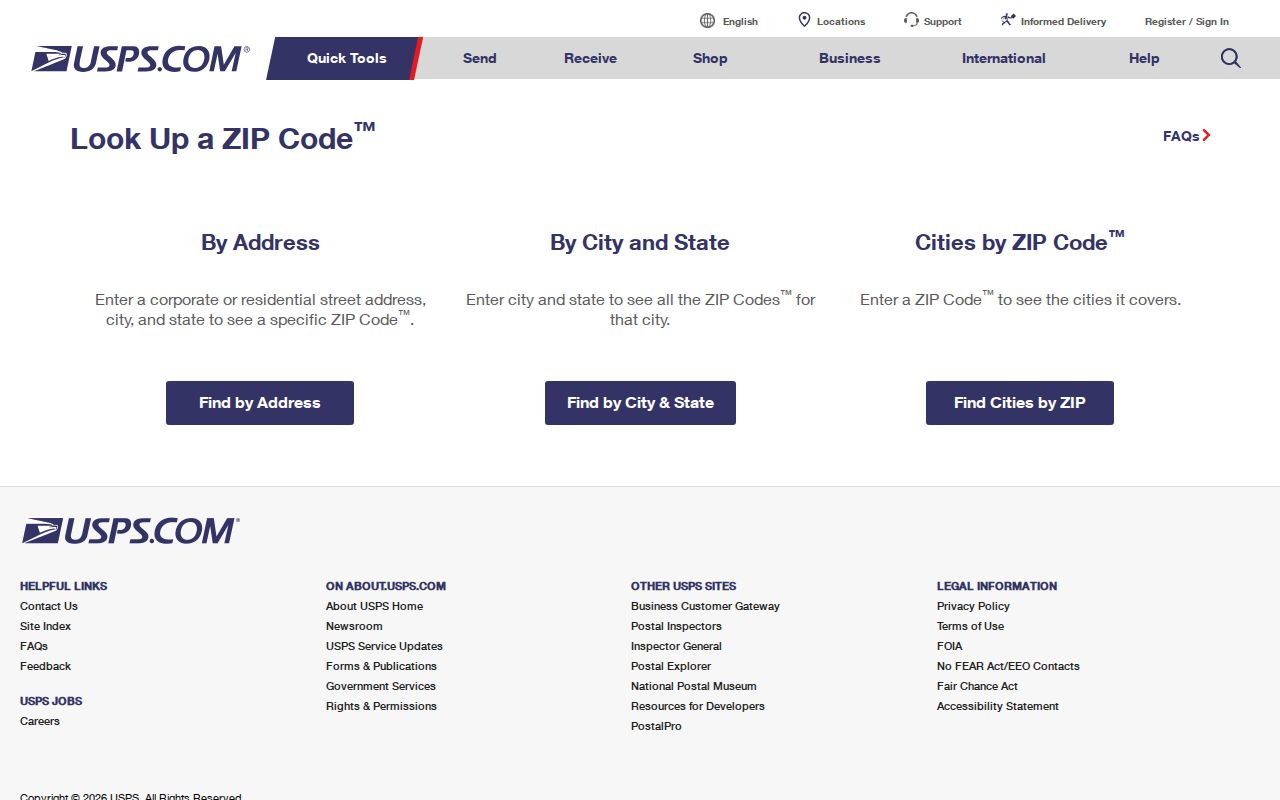
Search the street number and core name first, then add the suffix, direction, and unit. Record the standardized result exactly, but do not treat its city name as proof of municipal jurisdiction.
Union City ZIP Search Tools
Each official tool answers a different part of a ZIP question. USPS confirms the mail form. Fulton’s Property Map Viewer places a parcel inside a ZIP polygon and beside tax, school, census, and land-reference layers. The ArcGIS parcel service exposes address and owner fields for spatial work, while qPublic retrieves one parcel card by owner, address, or parcel number. The public qPublic documentation does not confirm a ZIP-wide filter.
| Official tool | ZIP-capable control | Result | Limit |
|---|---|---|---|
| USPS ZIP Code Lookup | Address or city/state mode | Standard address and ZIP, or ZIPs tied to a city name | Mail geography only |
| Fulton Property Map Viewer | ZIP Codes layer plus address search | Parcel in relation to ZIP and other layers | Map, not a household roll |
| ArcGIS parcel service | Address fields and spatial query against ZIP layer | Parcel, owner, and assessment fields | Maximum 2,000 features |
| Fulton qPublic | Owner, address, or parcel search | Individual parcel card | No verified ZIP filter |
Inspect Fulton County’s official ZIP layer beside the captured service page.
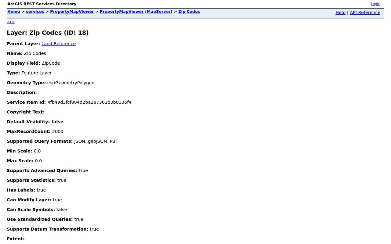
The layer supplies local geographic evidence, but its polygons still need to be read against the parcel and municipal lines.
Find Union City Records by ZIP
A ZIP code directory narrows geography; it does not create a resident list. Fulton’s GIS can display parcels within the 30291 polygon, then reveal the owner, parcel ID, address, owner mailing address, tax district, and assessment fields when populated. Those are ownership and tax facts. They omit tenants, household members, phone numbers, utility customers, and most private contact data.
- Enter the full address in USPS ZIP Code Lookup and save the standardized postal form.
- Search that address in Fulton Property Map Viewer. Turn on the ZIP Codes and parcel layers, then click the parcel polygon.
- Compare ZIP, tax district, city boundary, and situs fields. Use parcel ID as the durable key when address text differs.
- Open qPublic for the fuller tax card. If the goal shifts to one road, continue with the Union City street directory workflow.
Georgia My Voter Page is not a ZIP-wide search. It requires a first initial, last name, Fulton County, and date of birth for an individual match. State voter files can be ordered by named political geography, with fees and use rules, but the published order menu does not document a custom ZIP extract. Do not substitute a voter district for a postal area.
Map Union City ZIP Parcels
Fulton County’s map hub is the practical bridge from a postal code to legal geography. The Property Map Viewer includes parcels, address labels, ZIP codes, subdivisions, school zones, census blocks and tracts, zoning, future land use, land lots, block numbers, and tax districts. A user can search one address, enable the needed layers, and click neighboring polygons. The parcel service supports distance queries, ordering, statistics, and distinct values, though the public interface is best used for visual checks.
Open Fulton County Maps and Locators to compare its available tools.
Choose a map based on the boundary in question. ZIP, school, tax, census, and city polygons can overlap without matching.
Union City Annexation Changed Geography
Union City’s 2006 annexation added 5,330 acres west of the former city and nearly doubled its land area to 10,827 acres. Mayor and Council approved another annexation on April 26, 2011 for the replacement Banneker High School and connecting parcels. Those events changed municipal jurisdiction, but the research found no official proof that either event caused postal renumbering or a ZIP realignment.
This distinction matters for older records. An address inside today’s Union City boundary may have appeared under unincorporated Fulton or another jurisdiction in earlier permits, tax files, maps, or directories. Keep the old date attached to the old geography. Then compare it with current GIS instead of rewriting the historic record to match the modern city line.
Boundary check. Annexation changes municipal jurisdiction. It does not, by itself, change a USPS mailing city or ZIP code.
Use Union City GIS Context
Union City Community Development publishes a Connect GIS Maps hub with base, zoning, corridor, and planning materials. These city sources add the local boundary and land-use context that a postal lookup lacks. Community Development also handles address assignment and jurisdiction questions, while USPS controls delivery standardization.
Open the Union City GIS map hub before viewing its captured page.
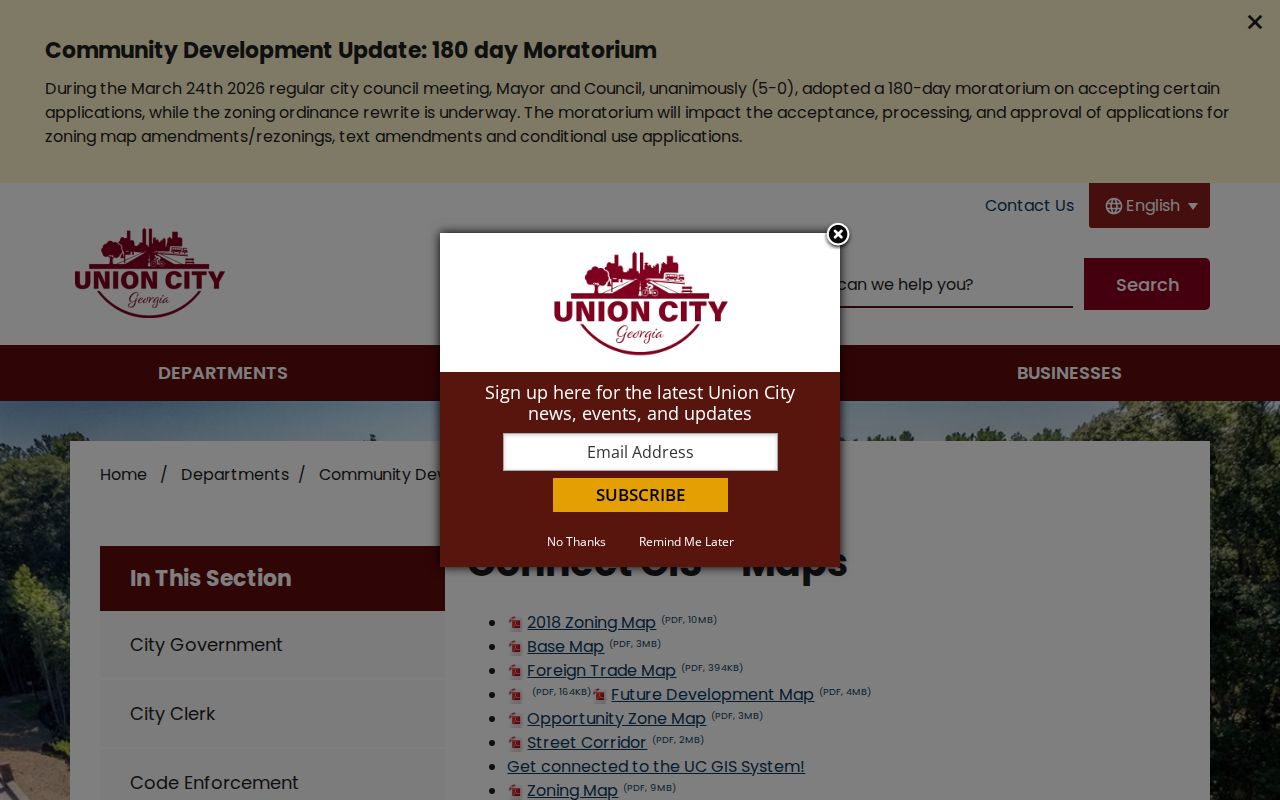
Pair a city base or zoning map with the Fulton parcel and ZIP layers. The combined view is stronger than any mailing label by itself.
Read Union City Address Identities
One property can carry three related identities. The situs address locates the physical parcel. The owner mailing address is where tax correspondence goes. The legal description identifies land through a district, land lot, subdivision, block, lot, plat, or metes-and-bounds wording. A ZIP code directory handles only the postal slice. ParcelID provides the steady tax key when spelling, suffixes, or route names change.
Units need extra care. One ownership parcel may contain many deliverable addresses. The tax roll may name one owner while separate units have different occupants and ZIP+4 codes. Building permits, code files, recorded plats, school zones, and census geography can add context, yet none provides a full roster of people living there.
The owner mailing and situs fields can also point in different directions. A matching pair may support owner occupancy, but it does not prove it. A different mailing address may mean the owner receives tax notices elsewhere. Neither pattern names all occupants. When a family-history question depends on who lived at a site, reverse directories and dated records are better sources than a current parcel card.
Ask Union City About ZIP Records
When the map leaves jurisdiction unclear, contact Community Development or the city clerk rather than guessing. The clerk keeps municipal decisions, ordinances, minutes, city records, and archives. Union City accepts open-records requests through JustFOIA, by email to Crushin@unioncityga.gov, by mail or hand delivery to City Hall, and verbally. Agencies generally respond within three business days or state the expected production time, estimated cost, and legal basis for withholding.
Open the Union City Clerk’s official page to confirm the office route.
A focused request should name the address, parcel ID if known, record series, and date range. Ask for electronic copies and an advance fee estimate.
Union City City Hall is at 5047 Union Street and the clerk’s office is open Monday through Friday from 8 a.m. to 5 p.m. The clerk can be reached at 770-515-7804. The city says most requested information can be available within three business days for review at City Hall. Copies cost $0.10 per page, with actual allowed search and administrative time charged at the lowest-paid qualified employee’s rate after the first free 15 minutes.
Union City ZIP Versus City Limits
A mailing label that says Union City, GA 30291 does not prove municipal residence. The preferred postal city is a routing convention. The parcel map, tax district, and incorporated boundary decide which local government keeps many property, permit, code, and municipal records. The reverse can also happen in principle: delivery geography may assign a neighboring postal name to land within a city. For Union City, any claimed 30349 city parcel still needs direct parcel proof because the reviewed official sources did not establish one.
Use four separate checks: the USPS-standard address, Fulton parcel, municipal boundary or tax district, and ZIP polygon. Keeping them separate prevents a postal match from sending a records request to the wrong custodian.
Historical searching adds one more boundary. Union City was part of Campbell County before 1932, although Fulton County is the modern custodian. Older land and court records may therefore sit under Campbell headings. Postal, municipal, and county names each belong to their own date. A clean ZIP code directory search preserves those dates instead of treating today’s label as timeless.
- ZIP and ZIP+4
- A five-digit ZIP names a delivery area. The extra four digits narrow delivery to a smaller segment, building, floor, or group of boxes.
- PO-box ZIP
- A code used mainly or only for post-office boxes rather than normal street delivery.
- Unique ZIP
- A code assigned to one high-volume organization or site. No Union City example was verified in the research.
- Carrier route
- The sequence or area served by a postal carrier. It is operational mail geography, not a city boundary.