
Walk a Union City Street
Begin with one exact address, not a person's name. The Fulton County Board of Assessors search provides the parcel key that connects modern street labels to tax and land records. From there, the county map reveals the parcel beside other lots on the block. A deed reference then leads into the recorded land chain. Permit files and a reverse directory can fill different gaps, but neither replaces the parcel and deed evidence.
- Enter the street number and core street name in Fulton qPublic. Save the parcel ID, situs address, indexed owner, owner mailing address, legal description, and any deed citation.
- Open the parcel in the Fulton Property Map Viewer. Pan along the same street and click adjacent polygons to compare addresses, owners, subdivisions, lots, and districts.
- Use the deed citation or owner name in GSCCCA. Read the instrument for its legal land identity and prior-recording reference.
- Ask Union City Community Development for an identified permit, certificate of occupancy, or code file when the public workflow does not expose older records.
- For earlier occupants, check a Haines criss-cross volume or the dedicated Polk title issue by issue.
This street directory chain separates three ideas. The owner is indexed for title or tax purposes. The mailing address is where the assessor sends notices. An occupant is someone who lives or does business at the site. Matching situs and mailing addresses, plus a homestead clue, may support owner occupancy, but no such match lists each member of a home.
Union City Address to Parcel
Fulton qPublic accepts an owner name, parcel number, or location address. Start with the number and main street word. If there is no match, remove the suffix or direction before changing the spelling. Fulton stores number, pre-direction, street, suffix, post-direction, unit type, and unit in separate fields. A full mailing string can fail even when the parcel is present.
| Search Field | Type | Required | Use |
|---|---|---|---|
| Owner Name | Text | No | Try a surname, initials, or business name. |
| Parcel Number | Text | No | Follow the format on a known tax record. |
| Location Address | Text | No | Search number and street, then broaden. |
| Search | Button | Not applicable | Runs the selected criteria. |
| Reset or Clear | Button | Not applicable | Removes prior criteria. |
| Map | Link or tab | Not applicable | Opens spatial parcel context. |
The parcel ID is the durable bridge. It keeps a Union City street search tied to land when a postal label, route name, or boundary changes. The GIS layer can show the parcel ID, tax year, address parts, owner, mailing fields, tax district, and assessed values. It does not show a birth date, phone, email, tenant, utility customer, or full household.
Browse Union City Streets in GIS
The Fulton Property Map Viewer turns one parcel into a visual street browse. Search an address or parcel, click its polygon, then pan to adjoining lots and lots across the road. Layers add address and parcel labels, units, blocks, lots, land lots, subdivisions, ZIP polygons, school zones, census areas, zoning, future land use, and tax allocation districts. The service supports queries with a 2,000-record maximum, though the map is easier for a block-sized task.
- Parcel
- A mapped unit of land used by the assessor and tax system. One parcel can contain more than one deliverable address.
- Situs address
- The physical address of taxed property, distinct from the owner's mailing address.
- Plat
- A recorded drawing showing lots, blocks, boundaries, and legal land details.
- Criss-cross directory
- A directory arranged by street and house number so an address leads to a listed occupant.
Map adjacency does not prove a tie between people. It shows which parcels share a boundary and whether a street crosses a subdivision, district, ZIP, or city-limit line. That is more sound than guessing from consecutive house numbers.
Union City Records by Street
No public roll functions as a full Union City street directory. Each address-keyed set answers a narrower question, and the records must not be treated as a live household list.
| Source | Keeper | Street Evidence | Access |
|---|---|---|---|
| Assessment roll | Fulton Board of Assessors | Owner, mailing and situs, parcel, values, land description | Free qPublic search and office |
| Parcel map | Fulton GIS | Adjacent lots, owner field, subdivision, ZIP, districts | Free map and ArcGIS service |
| Deeds and PT-61 | Fulton clerk and GSCCCA | Parties, instrument, dates, book/page, legal identity | Online accounts or deed room |
| Permits and code | Union City | Site, work, applicant or contractor, dates and status | IWORQ or open-records request |
| Reverse directories | Fulton Central Special Collections | Historical listed occupants or businesses | Walk-in volumes and staff email |
| Census | NARA and archives | Historical households through 1950 | Library, archive, database |
Georgia My Voter Page is an individual self-service lookup, not a reverse-address street list. Broader voter-file access is governed by state election law and redaction rules. It should not be placed in the address chain as a casual block browser.
Union City Owner Versus Occupant
The key parcel-card comparison is the owner mailing address against the Union City situs. An exact match can support the idea that an owner occupies the property. A different address may mean the owner receives notices elsewhere, or it may reflect an estate, trust, company, or other arrangement. Neither result establishes who lives there now.
Homestead status may add support for principal residence, but it can lag a change. Its absence is not proof that the owner lives elsewhere. A deed is narrower still: it names parties to a land deal. Renters, children, later occupants, and other household members do not become deed parties merely because they live at the site.
Union City Street to Deed
A modern address is often a weak key in an old deed index. First get the owner, parcel, legal description, and book/page citation. GSCCCA then supports county, regional, or statewide scope, plus name, book/page, participating-county property, instrument, PT-61, lien, plat, and UCC modes. Choose Fulton for current Union City land unless an older date calls for Campbell County research.
The GSCCCA real-estate search is the online path. Its statewide index floor is January 1, 1999, while Fulton physical instruments reach the early 1800s.
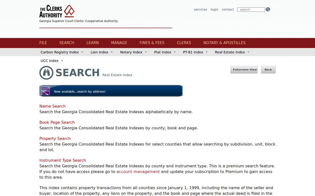
The screen connects an indexed owner or book/page citation to recorded instruments. The legal description then confirms that a result concerns the same land.
| County scope | Select Fulton for current Union City property. |
|---|---|
| Name mode | Use last or company name, optional first name, role, and dates. |
| Book and page | Retrieve a cited document when both references are known. |
| Property mode | Uses subdivision, unit, block, or lot in participating counties. |
| PT-61 address | A premium transfer-tax mode that can add a sale clue. |
Compare Online and Counter Access
GSCCCA's limited-use account allows index summaries without image viewing or printing. A regular account costs $14.95 per calendar month per user, provides image viewing, and charges $0.50 per printed page. A single-use account costs $5 for one four-hour session, plus print charges. Those terms do not mean every early Fulton deed is online.
The Georgia clerk search directory lists deed, lien, plat, PT-61, UCC, and related modes.
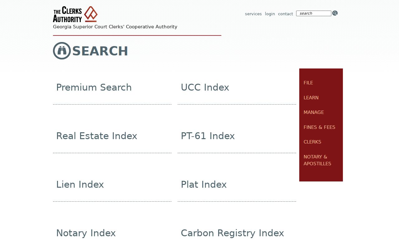
This wider menu helps choose the correct index before paying for document images.
When the web trail stops, the Deeds and Records Room is on the ground floor of the Lewis R. Slaton Courthouse at 136 Pryor Street SW in Atlanta. Computer lab access costs $5 for four hours. Staff do not perform legal research by phone. Bring party names, dates, book/page references, and the legal land description.
Union City Permits by Address
Community Development keeps permits, inspections, zoning, certificates of occupancy, and code-related address files. Union City advertises IWORQ for applications, plans, status, invoices, payments, inspections, resubmittals, and permit management. Research did not verify a full public address-history index. Request an identified file when the applicant workflow does not show older records.
The Union City permit page is the official current starting point.
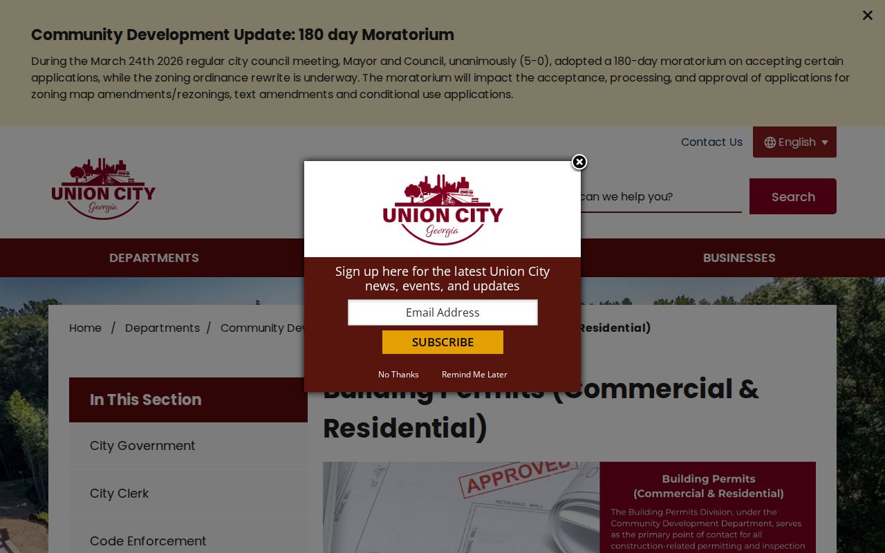
Permit and certificate records can date work and may name an owner, applicant, or contractor. They do not establish continuous residence.
A certificate of occupancy may contain permit number, project address, owner or contractor, use class, square footage, construction type, issue date, description, occupant load, and sprinkler details. Code files may concern grass, vehicles, rubbish, signs, or open structures. Those facts describe a site condition, not its whole household.
Union City Boundaries Shifted
Union City's 2006 annexation added 5,330 acres and nearly doubled city land to 10,827 acres. Another annexation approved April 26, 2011 covered replacement Banneker High School and connecting parcels. An older address now in the city may thus appear under unincorporated Fulton or a past jurisdiction.
Boundary check. A 30291 mailing label does not prove a parcel lies inside Union City; compare USPS, parcel, city-limit, tax-district, and ZIP data.
No dated Union City street-renumbering project was found. Do not assign a made-up year when an old street directory search fails. Try route and highway names, old place headings, and the land lot, subdivision, block, lot, or plat reference.
Reverse Union City Street Directory
Haines criss-cross directories at Fulton Central Special Collections span 1946 through 2016-2017 for their changing service area. A criss-cross section runs from street name to house number and then to a listed occupant or business. It is the historical counterpart to today's parcel map, but Union City coverage must be checked issue by issue.
Email Library.SpecColl@fultoncountyga.gov before traveling to ask whether a street and year appear in a suburban issue. The books are open for walk-in use. A missing entry can mean a non-subscriber, an unlisted renter, new construction, a publication gap, or a scope change. It does not prove vacancy. The full collections are covered in the Union City city directory reference.
Limits of Union City Street Records
Official records can show indexed owners, transfers, parcel boundaries, dated work, and some historical listings. They cannot produce a complete current resident roll. Driver addresses are protected by federal law. Utility and delivery identities are not substitute public lists. Protected-program addresses and private home details remain outside the search.
The Union City Police Records Division explains incident and accident report access and requests for other releasable records.
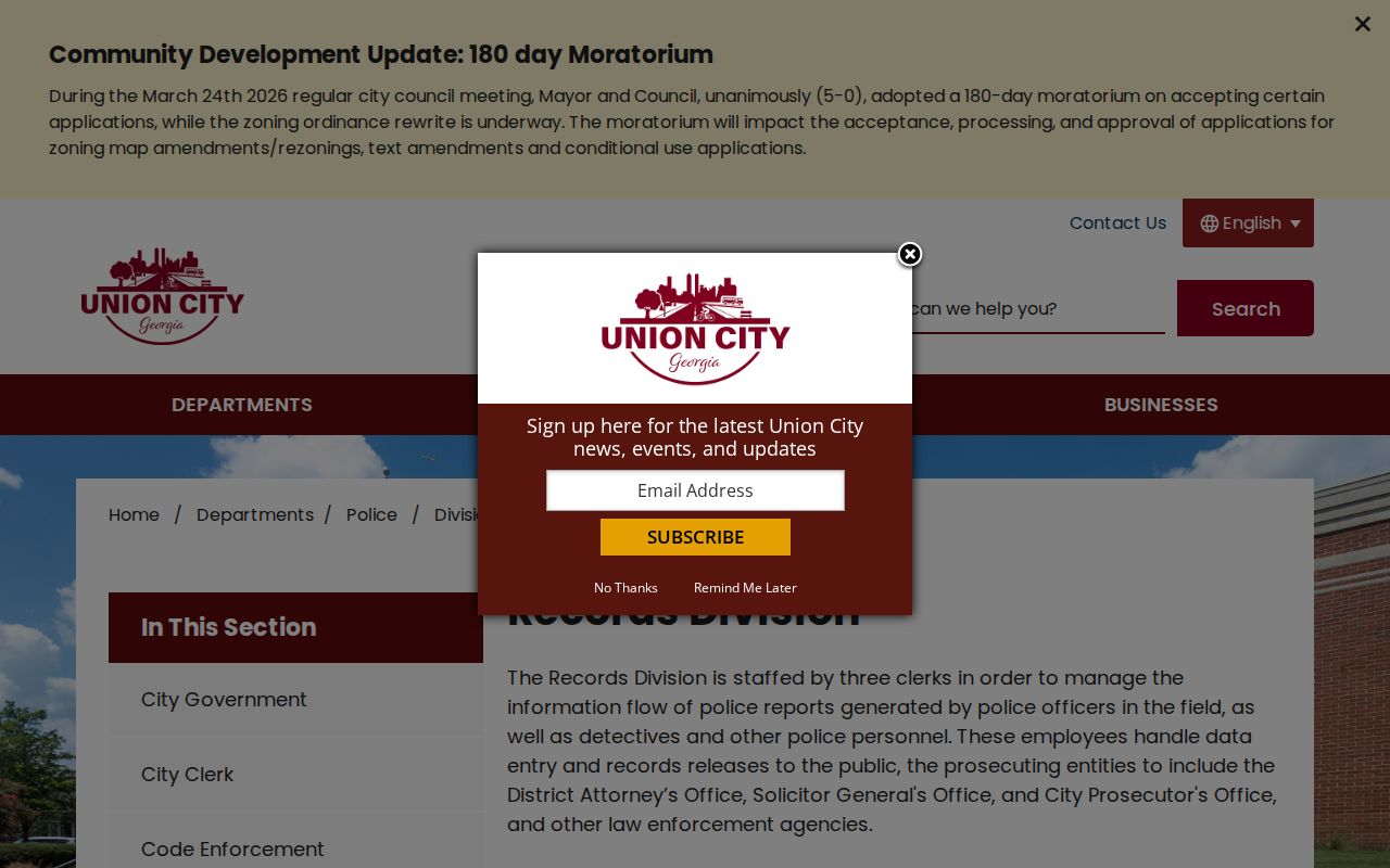
An address-linked report documents an event, not current residence. Active investigations, juvenile matters, pending prosecutions, and protected content may be withheld.
For a releasable city file that is not on the records page, give the custodian a precise address, date range, report or case type, and any known number. Union City accepts open-records requests through its linked JustFOIA route, by email, by mail or hand delivery, and verbally. A written request is best when statutory follow-up may matter. The city states that many records can be available for review within three business days. Copies are $0.10 per page, the first 15 minutes of search time are free, and added retrieval work is charged at the lowest-paid qualified employee's rate. These request details keep a street search focused and limit needless cost.
Use records lawfully. Union City address records may support personal research and civic understanding, but never stalking, harassment, threats, or intimidation.