
Union City Neighbor Record Sources
Public records can describe the immediate block around a Union City address without producing a complete list of people. Fulton GIS supplies parcel shapes and selected tax fields. The assessor record provides a fuller ownership profile. Union City permit, certificate-of-occupancy, code, and service-request files may explain what happened at a site. Historical reverse directories can show listed occupants for an earlier year. Each source answers a narrow question, and the limits matter as much as the names.
| Source | What It Shows About a Block | Access |
|---|---|---|
| Fulton GIS and assessor | Adjacent parcels, indexed owners, mailing addresses, assessments | Free viewer and basic search |
| Union City base maps | City limits, streets, parcels, rail lines, waterways, state routes | Official map pages and PDFs |
| Permit, CO, and code files | Work, applicant, contractor, owner, status, dates where public | City request; IWORQ is applicant-oriented |
| Report an Issue | Mapped category, status, and public details | Public tool; reporter contact remains private |
| Directories and census | Historical listed occupants and enumerated households | Library or database, with year limits |
An owner mailing address and the property's situs address are distinct. A match may support owner occupancy, especially with a homestead clue, but it still does not list every person at the home. A mismatch may mean the owner receives tax mail elsewhere. It does not identify the current occupant.
Union City Neighbor Parcel Fields
The Fulton parcel service exposes the fields used to place Union City neighbors on the map. They include ParcelID, TaxYear, Address, street-number and direction parts, unit fields, Owner, OwnerAddr1, OwnerAddr2, tax district, and assessed totals. The layer also returns the parcel polygon. It does not show dates of birth, phone numbers, email addresses, renter names, utility customers, or household members.
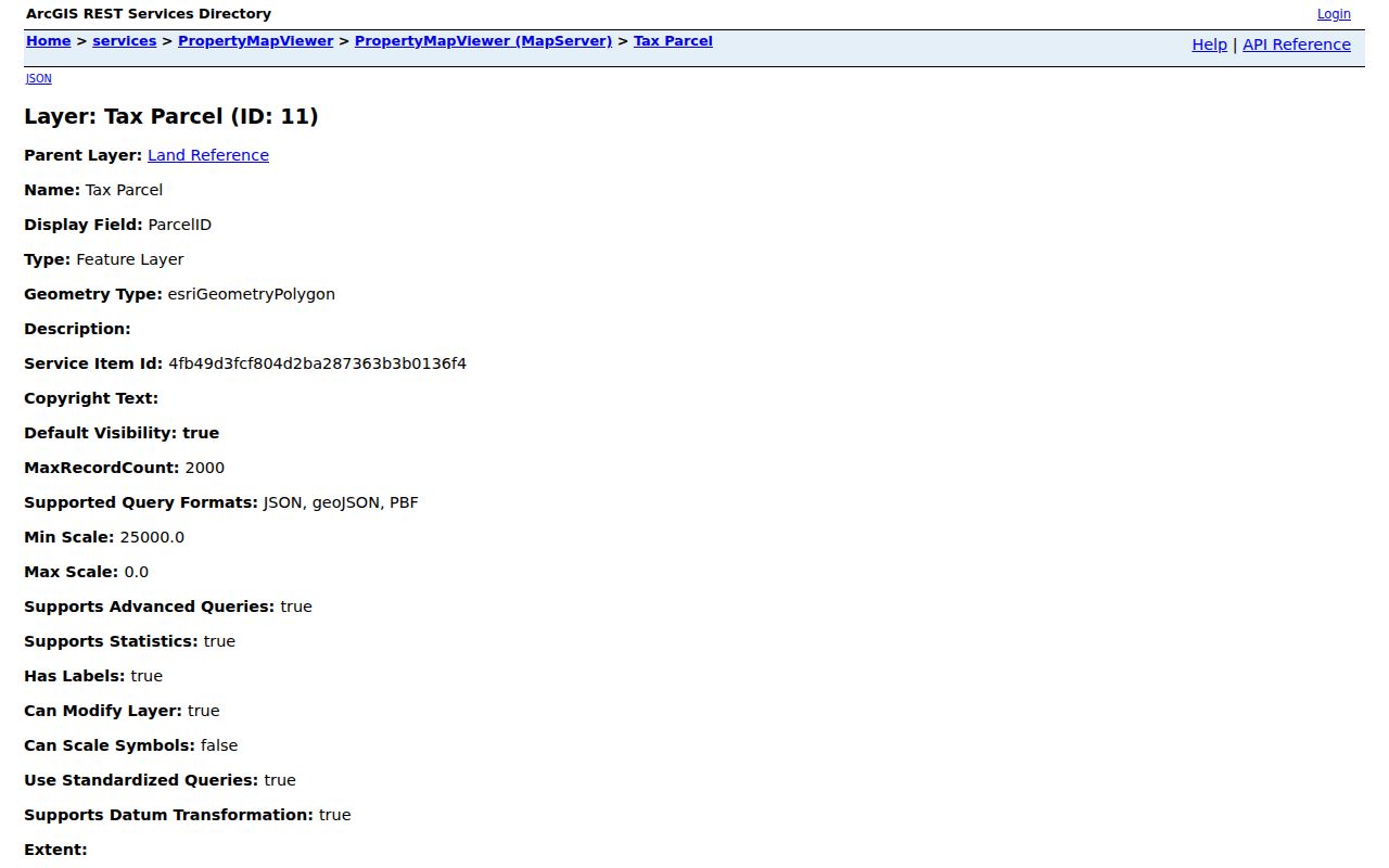
The service view confirms which values come from the county layer. It supports distance queries and a maximum record count of 2,000, but the public map is easier for a short block. Use the assessor card when a fuller tax narrative or deed reference is needed.
- Parcel
- A mapped unit of land with its own county identifier.
- Situs address
- The address of the taxed property itself.
- Owner mailing address
- The place where the tax office sends correspondence, which may be elsewhere.
- Adjacent parcel
- A parcel sharing a boundary or lying directly across the street from the starting lot.
Map a Union City Block
The verified method uses Fulton County tools rather than assuming a city map publishes owners. Begin with one exact address. If it fails, remove the suffix or direction, then identify the right parcel by its street, subdivision, and lot. Once the starting polygon is sound, walk only the nearby parcels. This keeps a neighbor lookup focused on the immediate block.
- Search the target address in Fulton qPublic or the Property Map Viewer and save its ParcelID.
- Click parcels sharing a boundary, then inspect the lots directly across the road.
- Record the indexed owner, situs address, owner mailing address, subdivision, lot, and tax district.
- Check the official city boundary and road layers before calling every nearby mailing address part of Union City.
- Move to permit or code records only when a specific site question remains.
This process yields ownership and parcel context, not a roster of residents. For a full named road rather than a small cluster, use the Union City street directory workflow.
Union City Limits Change Blocks
A 30291 postal label does not prove a parcel lies inside the city. Mailing geography, municipal limits, tax districts, school zones, and ZIP polygons are separate layers. Union City's 2006 annexation added 5,330 acres west of the former city and nearly doubled its land area. Another annexation approved in 2011 involved replacement Banneker High School and connecting parcels. These changes can place older records under a different jurisdiction than today's map suggests.
Compare the Fulton parcel polygon with Union City's official base and corridor maps. Those city maps show roads, parcels, city limits, the railroad, waterways, and state routes. When a permit or code question crosses a boundary, confirm the responsible office before filing a request. The address printed on mail is not enough.
Code Surveys Near Union City Neighbors
Union City Code Enforcement handles tall grass, inoperable vehicles, rubbish, signs, open structures, and expired business licenses. The office says an officer may expand one complaint inspection into an area survey of adjacent properties. This local quirk means one public file can concern a cluster of sites without becoming a list of the people who live there.
The Union City Code Enforcement page identifies the office and its scope. The department is at 5060 Union Street, can be reached at 770-515-7890, and lists weekday hours from 7 a.m. to 4 p.m.
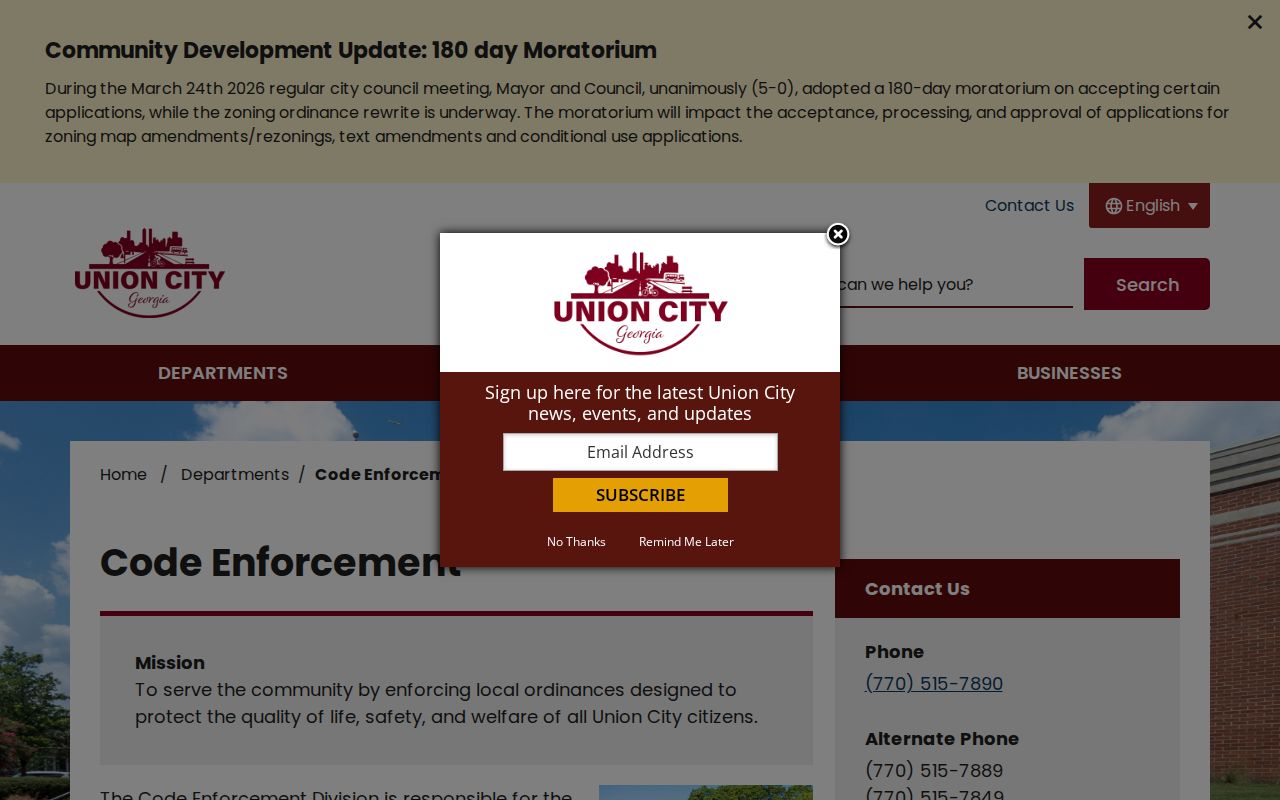
The page supports a focused request for an identified property or case. It does not support inferring a violation, owner, or occupant from proximity alone.
Mapped Issues Near Union City Addresses
The city's Report an Issue tool accepts a problem type, map or address location, details, optional contact, review, and submission. Categories include abandoned vehicles, dumping, permits, private-property concerns, sidewalks, stormwater, streets, streetlights, signals, and trees. A separate lookup can follow a submitted request.
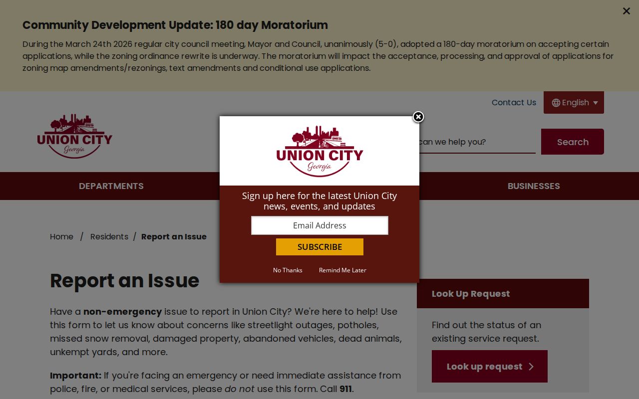
Public-visible descriptions can add civic context to a block. Reporter contact information remains private, and a service marker says nothing by itself about who caused the condition.
Union City Neighbor Voter Limits
Georgia My Voter Page requires a first initial, last name, county, and date of birth. It is a self-lookup tool, not a reverse-address search for Union City neighbors. A matched page can return status, polling place, precinct, districts, officials, sample ballots, absentee information, and participation history. Georgia does not register party affiliation, and participation never shows a person's vote.
State law governs voter-list orders, use, and redaction. License or state-ID data and the month and day of birth remain confidential. VoteSafe and Safe at Home protect qualifying addresses. Those limits should never be worked around with parcel, utility, or delivery data.
Union City Civic Contacts, Not Households
No official Union City HOA inventory, umbrella neighborhood council, public membership directory, or block-watch roster was found. That absence is a real limit. Private association lists should not be treated as public neighbor records. The city does publish civic and facility contacts that identify organized community channels without exposing member households.
| Community source | Public detail | Directory status |
|---|---|---|
| Growing Together Committee | Named 2025-26 committee roster; 770-515-7886 | Public civic roster, not a resident directory |
| Neighborhood Senior Center | 5285 Lakeside Drive; 770-964-1449 | Facility contact, no participant roster |
| HOAs and associations | No official city inventory located | Membership stays private unless published |
The Growing Together committee page is the official source for the current public roster.
The roster identifies public committee participants in that role. It does not show where they live or represent an HOA membership list.
Public Roles Near Union City Blocks
Business and court sources should be used only for the formal role they publish. Union City moved occupational-tax processing to HDL in 2026, but no public city search of issued certificates was found. A defined register may be requested from the clerk. An occupational certificate identifies an approved business location, not every person on its block.
The city occupational-tax page describes the local certificate process and current contact path.
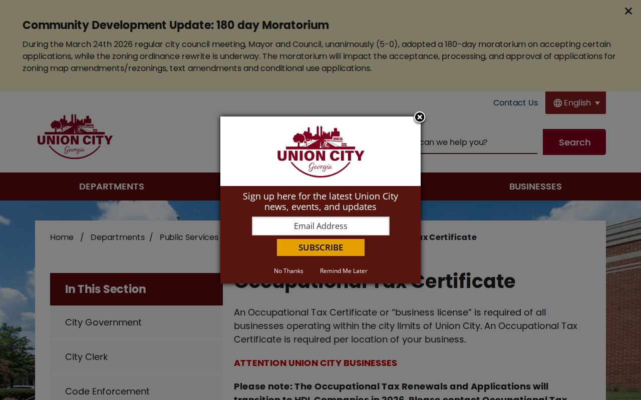
The page confirms how a business record is kept. It cannot convert a business actor into a nearby resident.
Union City Municipal Court handles traffic citations, misdemeanor state-law violations, and city-ordinance violations. Its public Courtware display is a forward-looking calendar, not a historical address index. The Court Services information page gives the request and contact route.
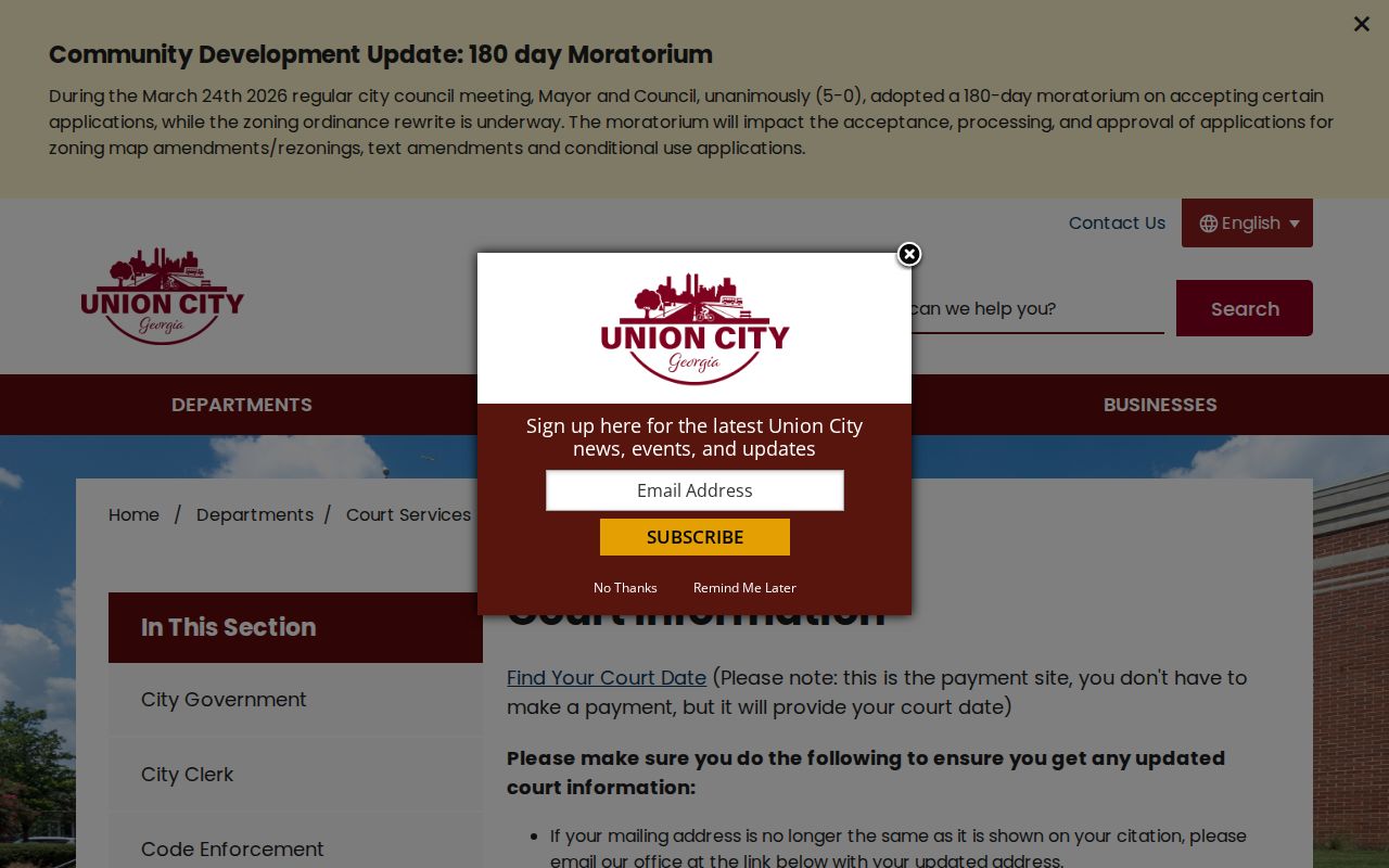
A calendar name proves only a scheduled proceeding. It does not prove residence, guilt, or a link to anyone else on the block.
Union City Neighbor Tools Compared
Commercial neighbor tools compile records from many places and may merge people, retain stale addresses, or charge for details. Official sources are narrower but disclose the custodian, field meaning, and request channel. Neither category creates a complete household roster.
| Question | Official record | Commercial compilation |
|---|---|---|
| Who owns the parcel? | Fulton assessor and deed record | May repeat an old owner |
| What borders the lot? | Fulton parcel geometry | Map method may be unclear |
| Who occupies the home? | No complete public household roll | Possible guesses or merged profiles |
| How is an error checked? | Return to the named custodian | Use the service's correction process |
For block research, record the source date and field meaning. Do not turn an ownership name, court party, or business contact into an unsupported claim about a household.
Privacy Limits for Union City Neighbors
Parcel rolls do not identify renters or all household members. Utility customers, delivery records, private HOA membership, and service-request reporter contacts stay outside the public block method. Georgia Safe at Home, launched July 1, 2026, provides a substitute address and mail forwarding for qualified participants while protecting the actual voter residence. VoteSafe offers separate voter-address protection.
Even a public fact needs context. An owner name does not prove occupancy. A permit applicant may be a contractor. A committee member's role does not disclose a home. A court calendar entry does not prove guilt or residence. Verify each fact with the office that created it and stop when the source does not support the claim.
Lawful use. Research Union City neighbors for civic awareness, reconnection, or personal safety. Never use these records to watch, harass, threaten, or intimidate anyone.